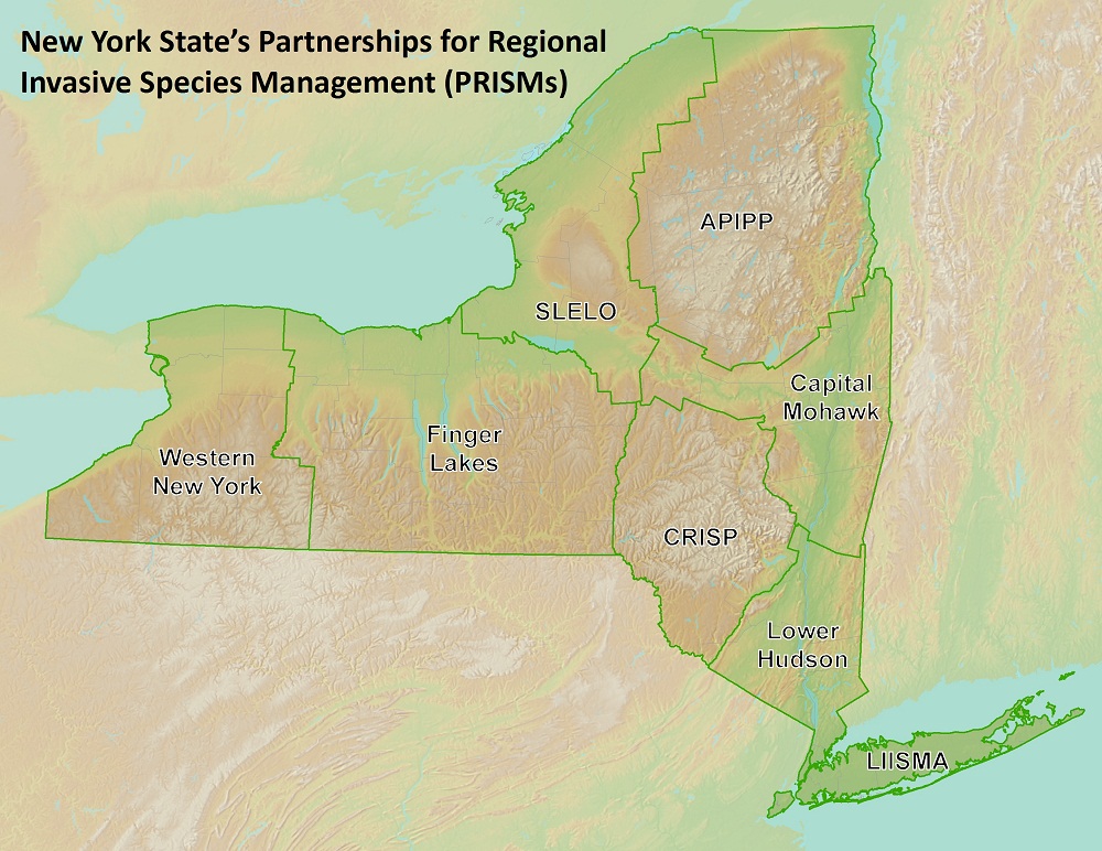
In the fall of 2020, the FLI conducted an inventory of all public boat launches throughout the Finger Lakes PRISM region. Data collected on each boat launch included: boat launch type, condition of the boat ramp and parking lots, restroom facilities (presence and type), AIS disposal boxes, signboards, signage, fee-for–use kiosks, use restrictions, and ADA enhancements. The inventory objectives were to: assess the presence and condition of AIS signage and disposal boxes at public boat launches to ensure continued and consistent messaging across the region, to enhance the FLI’s digital database and general knowledge of public boat launches in the Finger Lakes PRISM region to better inform resource managers and New York State AIS programs regarding the status of the launches, and to provide an open-source inventory of boat launches as a regional resource.
Signage and disposal boxes have proven to be a valuable and cost-effective outreach method to successfully increase pro-environmental behaviors (Cole et al, 2019; Wu et al, 2018). Unfortunately, not all launches in the FL PRISM contain signage and some have fallen into disrepair. Indeed, a 2017-2019 audit of invasive species programs by the NYS Office of the State Comptroller found that large proportion of boat launches within the state, specifically in the Finger Lakes, were lacking proper invasive species signage and disposal boxes (Kim et al, 2020). A key finding from the audit indicated that “signage was not always posted or posted conspicuously, limiting its usefulness in educating the boating public about AIS and their role in preventing its spread.” (Kim et al, 2020, pg. 1). The FLI conducted an inventorying survey to determine the condition of the launches within the Finger Lakes PRISM. The results of this survey will help inform programmatic changes and guide steps toward maximizing AIS education and outreach potential at boat launches.
Boat launches provide the ideal focal point for AIS mitigation efforts through sign and disposal box placement. Furthermore, the surveyed attributes of each launch in the Finger Lakes may help to predict whether boaters are more likely to employ ‘Clean, Drain, Dry’ practices, as recommended by the New York State AIS Management Plan (NYS Department of Environmental Conservation, July 2015). Therefore, determining the status of signage and the condition of these launches will efficiently guide management efforts to prevent the further spread of AIS within the Finger Lakes and throughout the state.
The FLI built a web mapping application to display the findings of the 2020 boat launch inventory survey. The web mapping application is a versatile and informative resource for managers, stakeholders, and the general public. Managers and stakeholders will use the web mapping application to inform their decisions regarding where to focus AIS infrastructure placement efforts for maximal impact and efficacy. The public will use the web mapping application to assess which boat launches best meet their water-access needs and to inform them of new launching opportunities.


